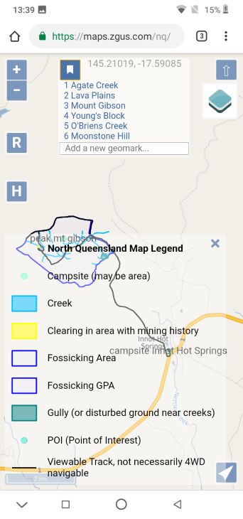
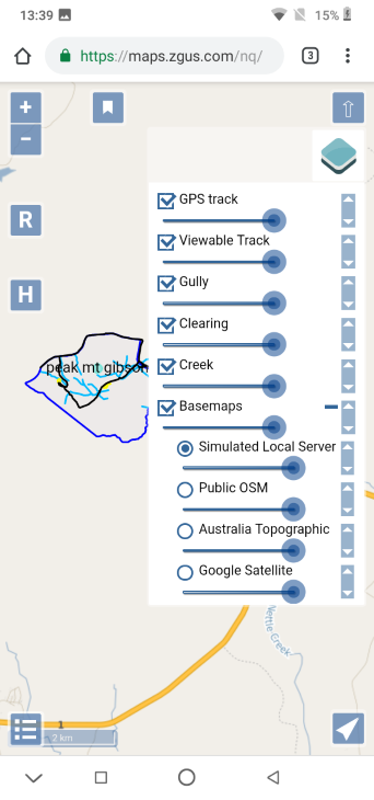
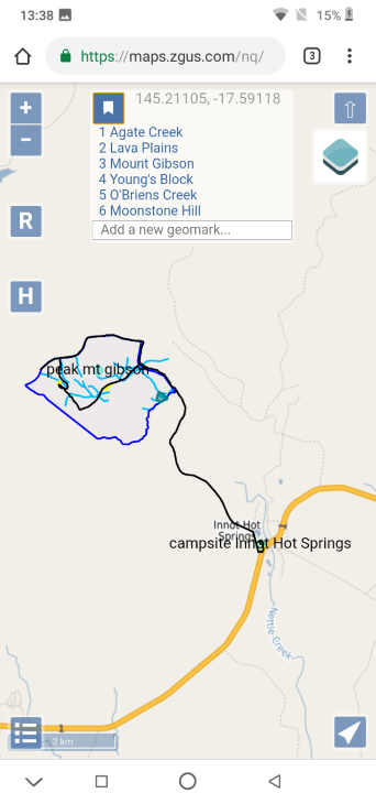
Screenshot images below show new map legend and new basemap/layer choices menu for the NQ field test site maps /nq with information at /maps-nq. Some information has been updated in the last link to reflect changes, for example use of .lan instead of .local for DNS while reserving use of .local for mDNS.
 |
 |
 |
 |
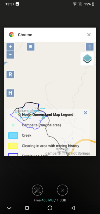
The screenshots were taken by holding down the power + volume down buttons on a very inexpensive and resource limited Android GO phone with 1GB RAM and 16GB flash memory, the Blackview A60.
The fourth screenshot shows 460M MB free of 1.0GB at the end. This shows one of the advantage of using a map server: very inexpensive phones can be used in the field with little concern about the consequences of damage to the phone with field use as they are so inexpensive. While the map server in the field does not require a mobile phone to use a SIM card and so have mobile access, the Blackview A60 does not support 700Mhz 4G LTE band 28 (common in rural Australia). However, there are inexpensive phones now coming on the market with dual 4G LTE SIM slots that includes 4G LTE band 28, for example Umidigi mobile phones (so far untested).
The rpi3 server documented in Field tests is now running Rasbian Stretch Lite OS instead of unsupported prerelease Debian Buster OS. The server is now stable. There is little practical difference between Rasbian Lite and Debian without a GUI installed, although enough to be an issue.
It has been noted using rpi3 can result in inconvenient delays when map tiles have not been cached.
The web server that is local with the map server is now allowed to wait for up to five minutes for a response from the map server to an individual request before giving up.
This timeout will help cater for those who might want their web browser to build up a cache of map tiles at different zoom levels and different nearby map locations while in the field, so they can temporarily go out of range of the map server and still find their phone usable with GNSS/GPS. The timeout also caters for extreme and impractical zoomed out panning.
With regard to saving information, currently different map extents can be bookmarked, as mentioned. To save a GNSS/GPS track with the map server currently the most convenient method is to take screenshots as required.